It sounded really good on paper.
But first I would like to say thank you to Deb and Mark, my friends in Lemitar, New Mexico. Not only did I spend almost two weeks with them, but they were also kind enough to hire me to work on some house projects. So if you have a garage that needs to be organized or if you are in need of some help with your horse fence, give me a holler. Thank you, I enjoyed spending time with you and thank you for feeding me.
After driving through the Gila Forest coming from Arizona, I felt that I wanted to spend a little more time in the forest before continuing east. I had mapped out a loop trip through the forest which would take two or three days. I called the local ranger station to inquire about road conditions and closures. Good thing I did. The road I wanted to take was still closed for winter. The ranger suggested another route but she stressed that I should get a forest map. Since this trip would go through the forest and over dirt roads that require 4 wheel drive, I decided to leave the camper with my friends and just take my tent. On my last road trip a few years back I used to sleep in this tent all the time and I loved it. Let’s just say tenting in a campground with showers and running water is very different from tenting in the woods. I had forgotten how much stuff one has to pack when going on a trip. When I take the camper I don’t have to pack anything, everything is right there.
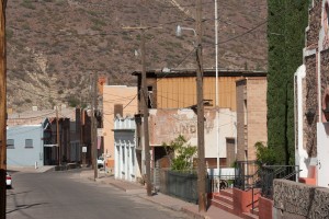
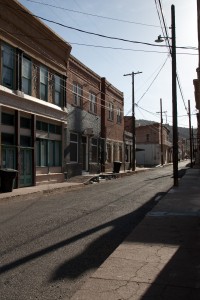
My route took me west on highway 60 through Magdalena, a small town with a handful of art galleries. The wind was blowing so hard sending tumbleweed and sand across the streets.
Further west is the National Radio Astronomy Observatory and the Very Large Array radio telescopes. Very cool stuff. I had seen them last July on my way to the West Coast. Back then the weather was not cooperating, totally cloudy. This time was not much better. The wind made it impossible to hold the camera still, even a tripod would not have helped.
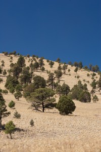
Hillside with pine trees
The scenery was mainly grassland over rolling hills dotted with pinon pines which were moving closer to the road and then disappeared into the distance again. I was very glad that I left the camper at my friends’ place. The wind would have made this a very difficult trip. I like to coast downhill and usually I gain speed, but this time I slowed down, that’s how strong the wind was blowing.
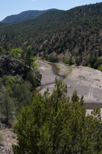
San Francisco River - Gila Forest
I took a lunch break in the last town before the woods, Reserve. Nothing fancy, just a big mushroom/cheese omelet. When I looked for a seat a local waived me over to sit with him and so I did. Tuffy, his nick name, has lived in Reserve most of his life. Only the military had taken him to New Jersey and Alaska, now he bartends here in town. He left the restaurant before I did and when I asked for my check I was told that Tuffy had already taken care of it. I was floored, thanks.
I bought my forest map at the ranger station in town and asked for directions. I was told that everything was well marked. I was also told that not all roads are indicated on the map, but it should be fine for where I was going. We’ll see.
The campground I was hoping to reach that afternoon was only 50 miles away. The ranger had said it would take two hours to get there due to the nature of the road, a curvy washboard dirt road.
It was beautiful driving up the mountain overlooking parts of the San Francisco River.
I made it half way to the campground before I started to feel too tired to keep on driving. Setting up the tent took longer than I remembered, the wind didn’t help. I didn’t just park on the side of the road; there was a primitive campsite with a pit toilet which helped. Right next to my spot was a hillside that looked like a good place for a late afternoon hike. This was my first hike in almost a month, it felt good to be back exploring. The mountains around the Gila Forest are largely composed of volcanic rock. I made sure not to slip.
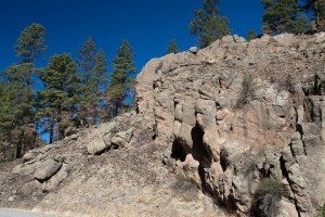
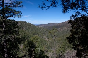
Gila Forest
When was the last time you wore a short sleeved t-shirt, a long sleeve t-shirt, a warm sweat shirt, thermal underwear, socks and a wool head – to bed?? It was supposed to get down to 32 F. I wrapped myself into my sleeping bag and two warm blankets and tried to go to sleep. Of course I had some dinner before hand. What I didn’t have was a book. I ended up reading the front pages of my trucking road atlas, not very exciting. Don’t forget your book when you go camping!
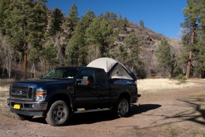
Tent camping - it sounded good
Unfortunately, I didn’t sleep well all night, just couldn’t find a comfortable position, got all tangled up in my blankets. At least I stayed warm.
I did wake up to some strange noises outside my tent. They didn’t sound threatening so I decided to unzip my door and look what was out there. Wow, how incredible a small herd of elk had been grazing around my truck / tent. I saw four elk run up the hillside and two or three more made it up to the road. Nice way to start the day. Now I just had to convince myself to get out of my warm sleeping bag. Did I mention that it was only 26 F (-3C) inside my tent?!?
If you thought this was enough of an adventure for one trip, just wait ‘til I tell you about the drive through the forest.
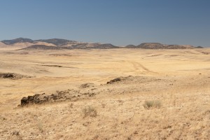
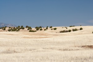
Grassland and rolling hills
The drive from my site to the Snow Lake campground was all on pretty well kept dirt roads, a little bumpy, but no big deal. The drive started to get more interesting once I started to drive on a primitive road. I had been told that the road might be washed out in places, but I was not prepared for what I would encounter. In the beginning I was driving through wide open grassland over volcanic rocks, very slowly at 5 mph. After bouncing around for some time I saw a fence in front of me, darn, did that mean I had to turn around, no way that I would drive back over those rocks. Luckily, it turned out to be a cattle gate that I had to open. At one point I came to an intersection without any signs, I made a right turn thinking I would get to a gravel road pretty soon.
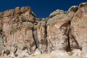
Rock formations - Gila Forest
After a couple of miles I had the feeling that I was no longer on the road I was supposed to be on. Thanks to my compass I at least knew that I was going in the right direction. None of the intersecting numbered roads I passed were on the map, so much for the forest map. The road got very narrow; still a very rocky, washed out dirt road. Instead of driving through open grassland I was now in the middle of the woods. Branches were hanging so low that I had to stop and break them off (they were dead) or they would have scratched up the roof of the truck. The road was just wide enough for the truck, a little drop off on the driver’s side but nothing serious. The next thing I see is a big pine tree lying across the road. What now? Again, I was lucky, there was a little path around the tree, oops there was another one. This time there was no way around it, I had to drive over it. Fortunately, the tree was not too big. I wasn’t out of the woods yet, no pun intended, there were no more trees blocking the road, but I encountered more steep, rocky and washed out roads. Eventually I reached a gravel road. Surprisingly, I came across a ranch, a rancher and his wife who gave me directions. He warned me about the road ahead, “take your time” he said, but it was nothing like the last twenty miles. Just to give you an idea how bad the roads were; it took me six! hours to drive sixty miles.
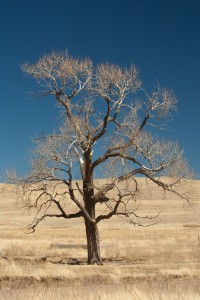
Bare cottonwood tree
You have no idea how happy I was when I finally hit the asphalt again, finally driving at speeds faster than 5mph. Of course I had to get stuck behind a slow moving truck 🙁 . When I made it to the interstate I set the cruise control to 75 (legal speed) and made it back to my friends in no time. So, instead of a hiking experience it turned into a driving marathon, 200 miles in 9 ½ hours. I could have spent one more night in the woods, but I really didn’t feel like waking up to freezing temperatures again.

